
The Evening Post map of the West Indies
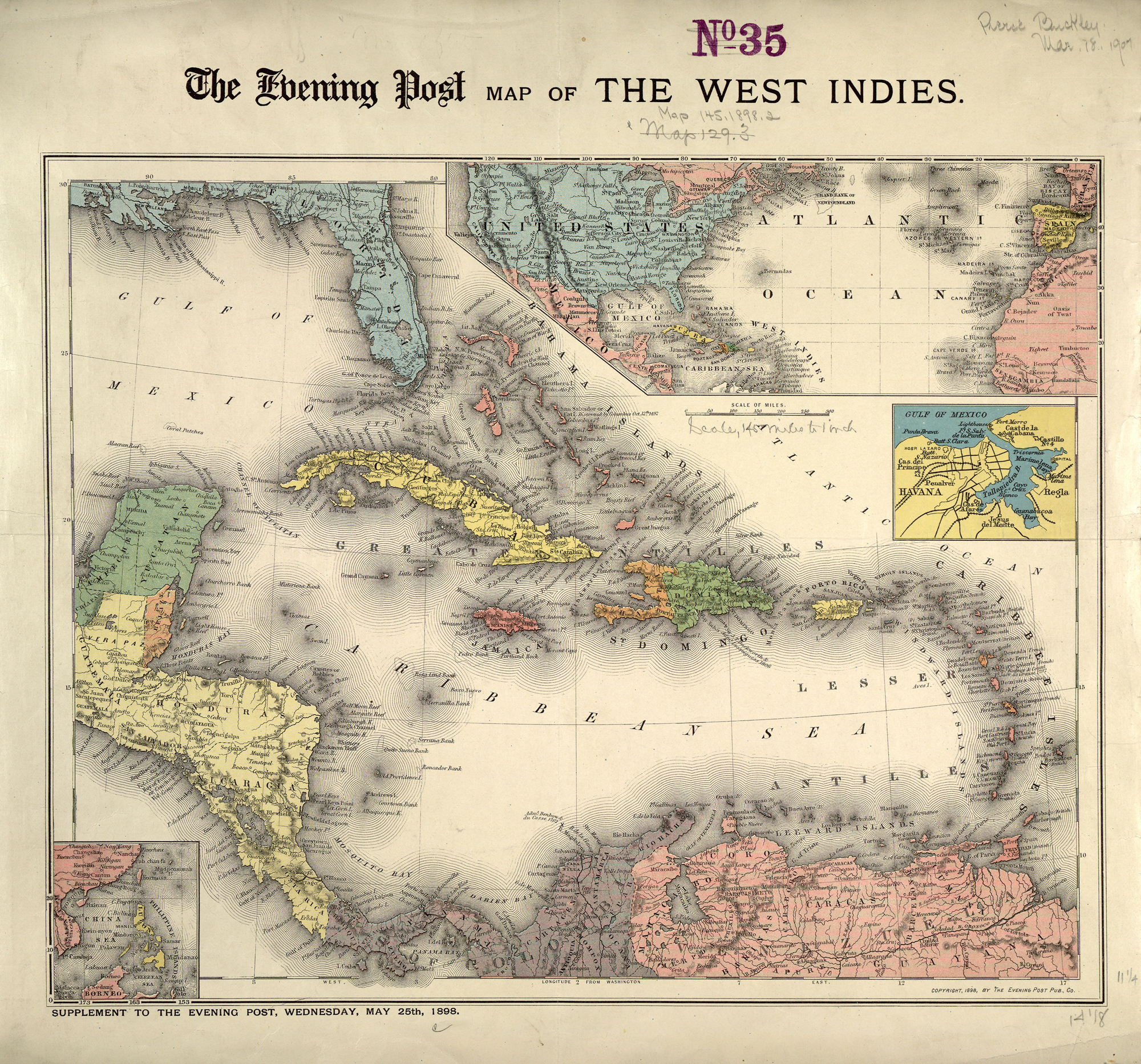
Publisher: Evening Post Publishing Co. Date: 1898 Location: Caribbean Area, West Indies
Dimension: 30.0x39.0cm Scale: 1:9,500,000
Call Number: G4900 1898 .E9
By http://maps.bpl.org [CC-BY-2.0 (https://creativecommons.org/licenses/by/2.0/)], via Wikimedia Commons
Date Published:
8 August 2012
Source:
In Collection(s):
Caribbean Writers
Keywords:
map, caribbean, 19th century
Cite:
The Evening Post map of the West Indies at https://commons.wikimedia.org/wiki/Main_Page via https://dev.writersinspire.it.ox.ac.uk/content/evening-post-map-west-indies. Published on 08 August 2012. Accessed on 14 May 2026.
If reusing this resource please attribute as follows: The Evening Post map of the West Indies (https://commons.wikimedia.org/wiki/Main_Page), licensed as Creative Commons BY (2.0).